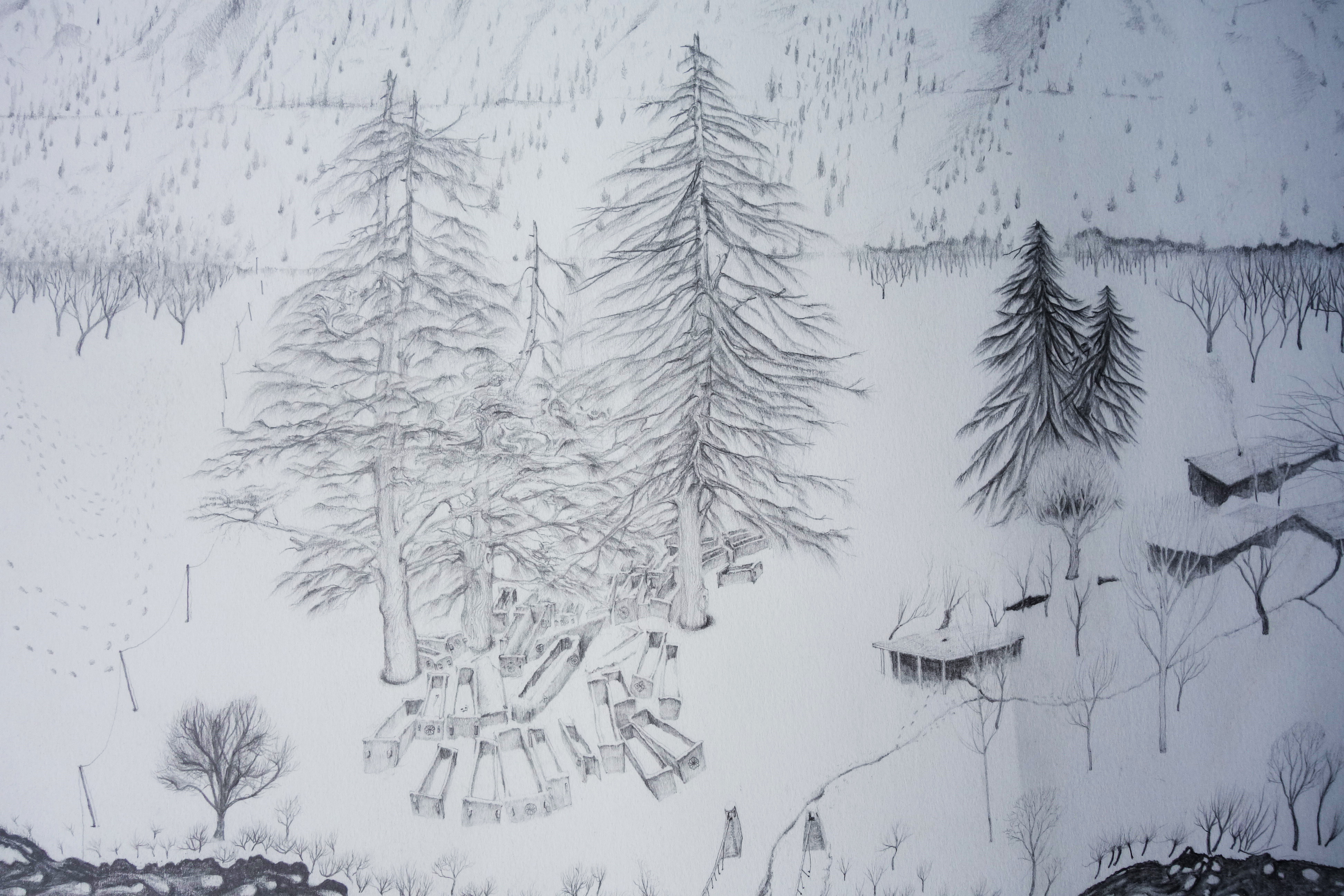
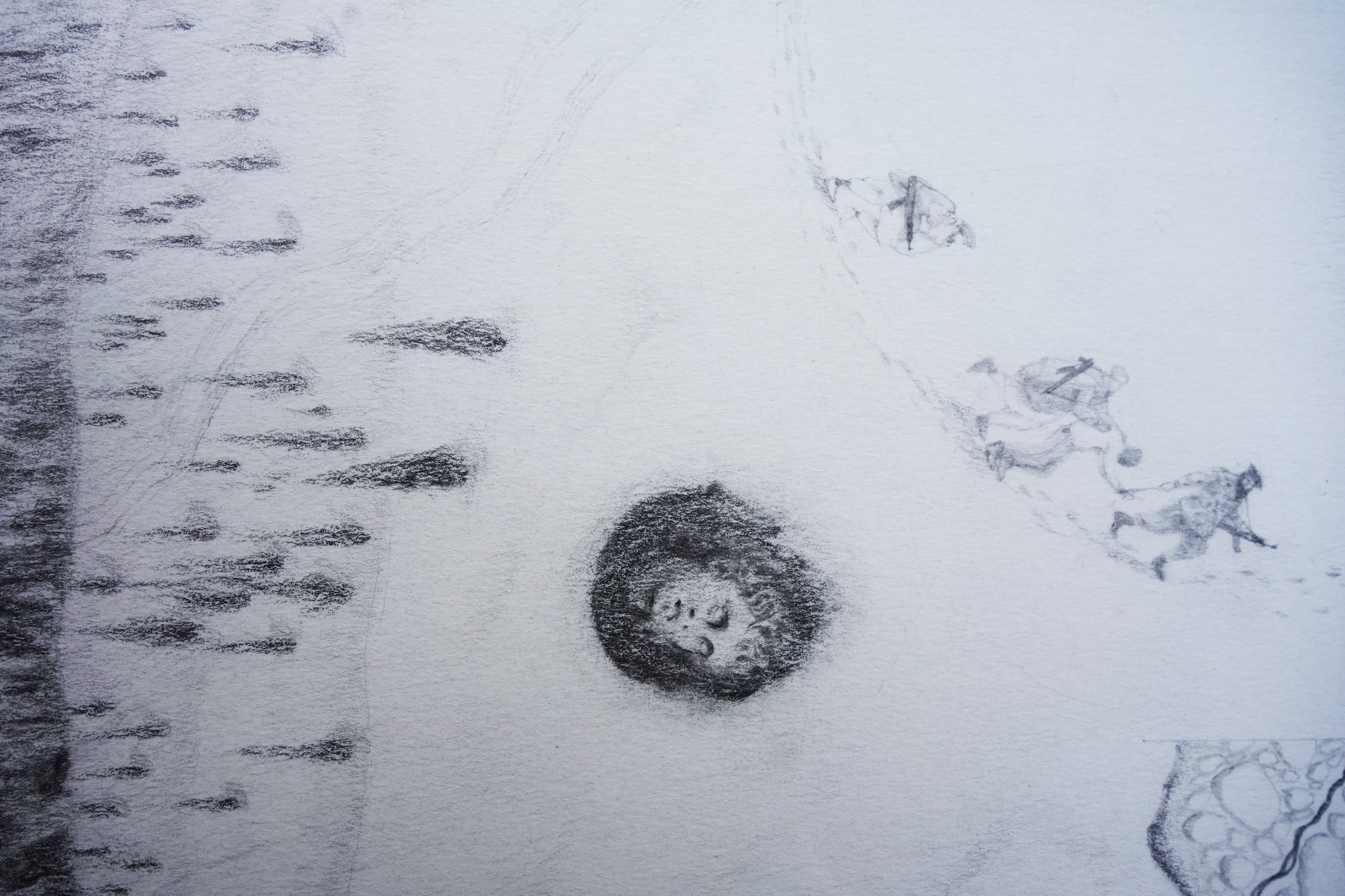
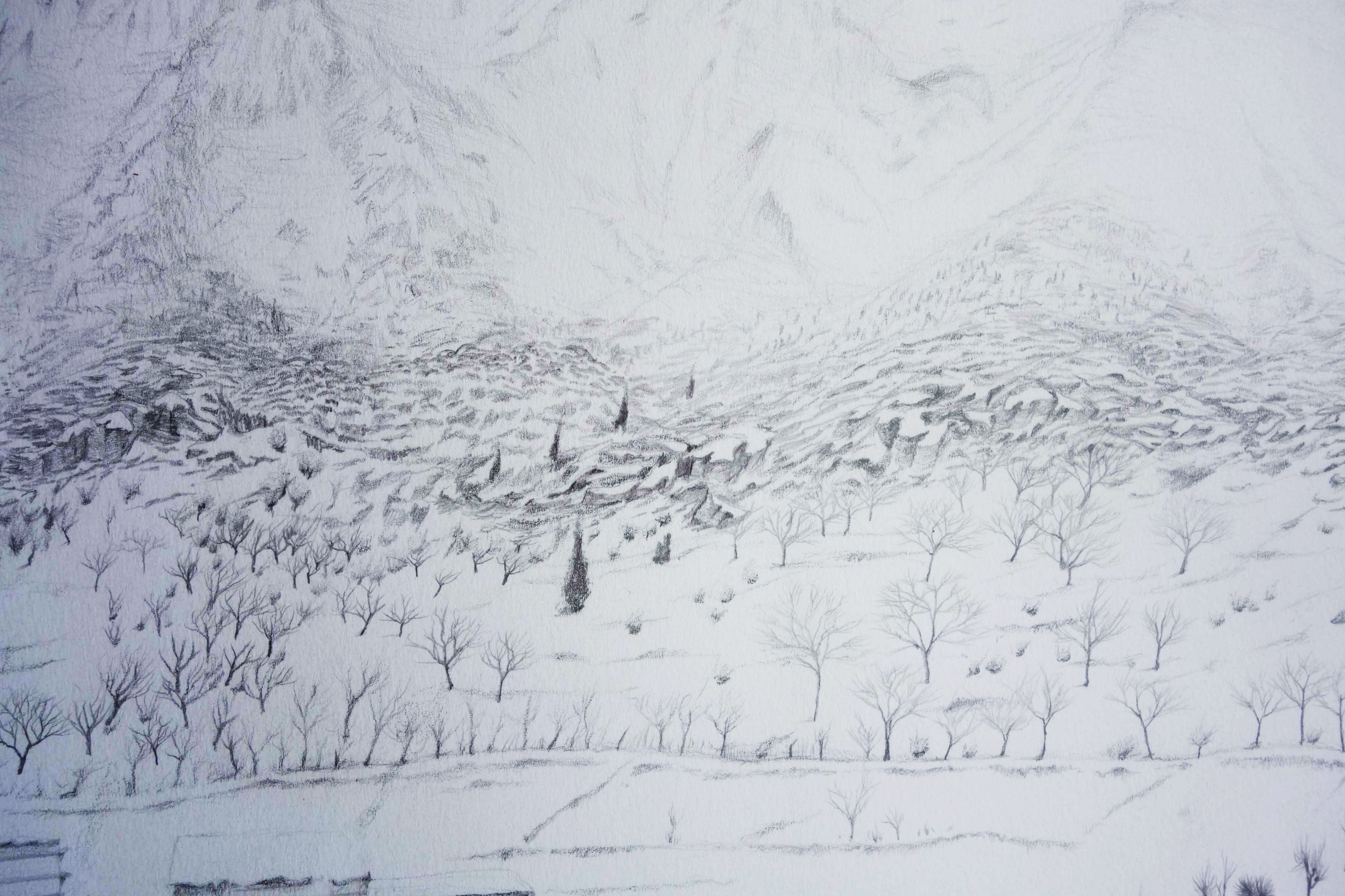
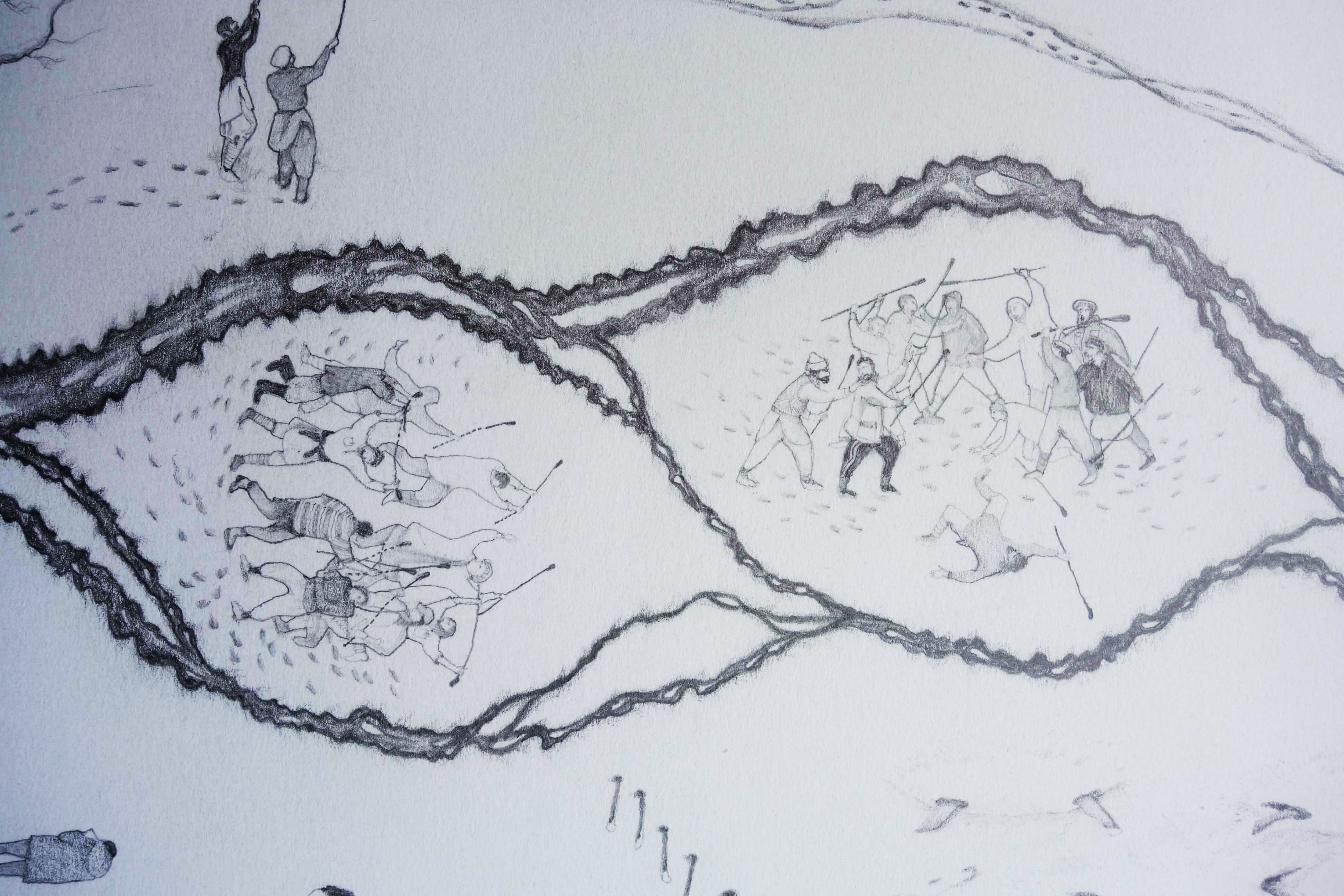
MAP OF MUMURET 2011-19
Between 2011 and 2019 I worked on a map of Mumuret, the valley in the Kalasha's homeland where I carried out most of my PhD research. The map measures 1.6 x 0.9 meters and charts events which happened during the timespan of its making. Some events which are included impacted many people, for example a dramatic flood where the river tore away the fields either side of it. Other sections of the map are more personal, relating to the valley as I experienced it.
In 2022 I published an article* discussing the map in the context of my research and my evolving relationship with the Kalasha homeland.
Many thanks to Sikandar Kalas for his wonderful editing of the video.
*Crowley, Tom (2022). ‘Mumuret: Drawing a Valley on the Afghan-Pakistan Frontier’. The Highlander Journal, 2, pp 1-9.